Every year, we used to take a three-day trip during the Victoria Day vacation. In fact, we’d set off from Sainte-Étienne-des-Grès to La Tuque to experience the atmosphere created by an event called the La Tuque 12 Hours of Endurance. Unfortunately, it no longer exists since 2017, but we had continued to go to this region every year at the same time.
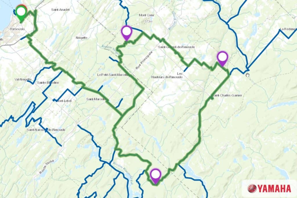
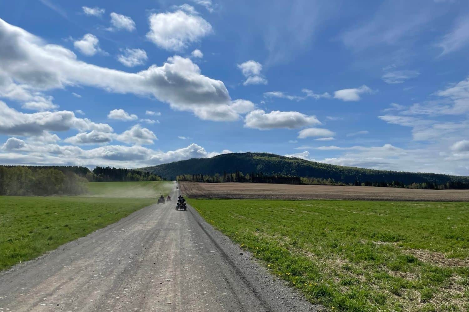
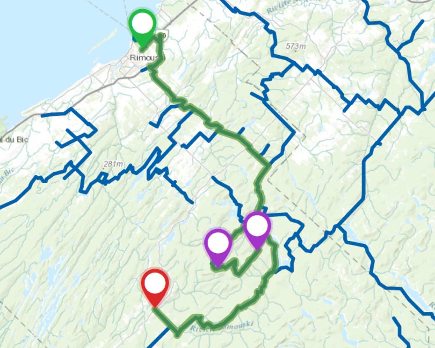
This year, we decided to do something different. We wanted to discover another region, the Bas-Saint-Laurent. It’s a “flower petal” type of ride, meaning that we loop around different areas but always come back to the same place at the end of the day. The biggest advantage of this type of tour is that we don’t have to carry our luggage on our ATVs.
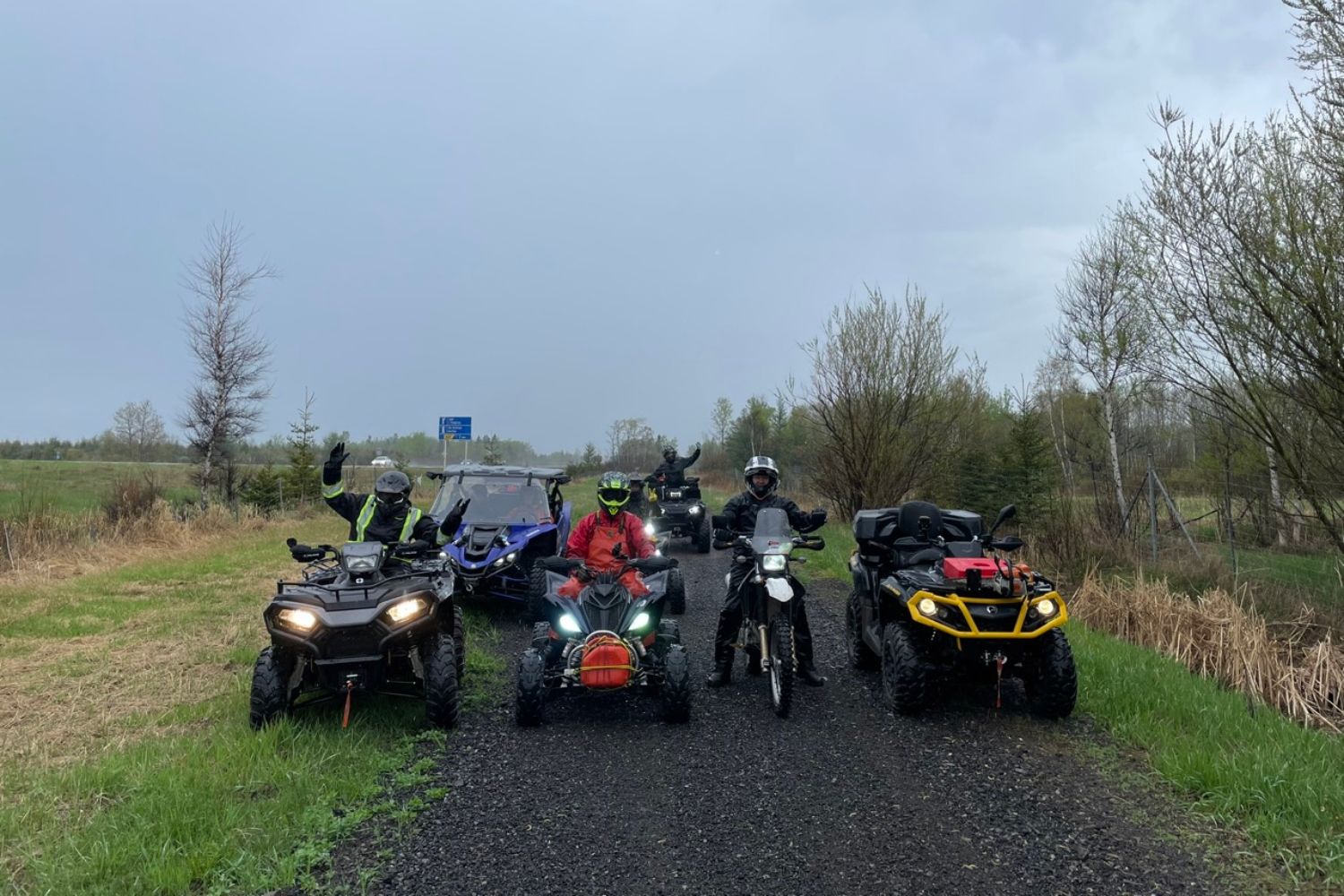
So we chose the town of Rimouski as our “base camp”. We were a group of eight people, five quads, one side-by-side and one dual-purpose motorcycle.
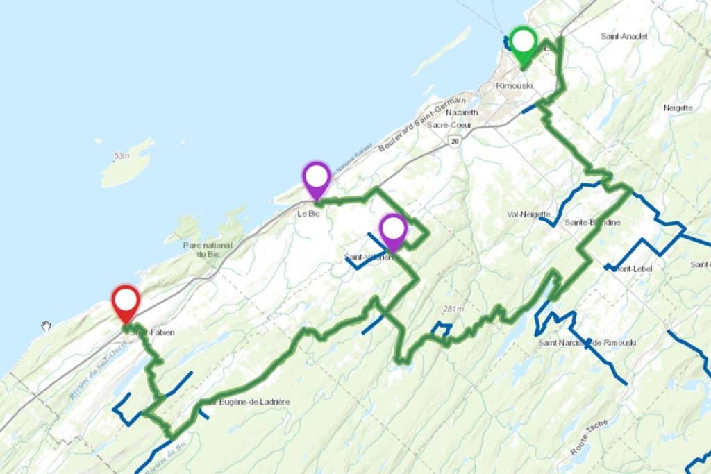
Day 1: Rimouski to Saint-Fabien
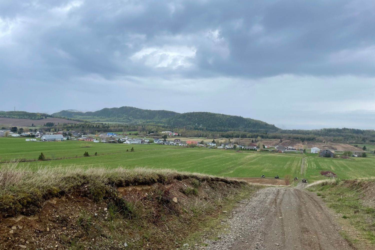
It’s a rainy day ahead. When we get up in the morning, we look outside and tell ourselves it won’t be so bad. We go to the restaurant for breakfast, and by 8:30 we’re off in the direction of Le Bic. A few minutes later, it’s already raining and we’re in for a good shower. It’s worse than we imagined!
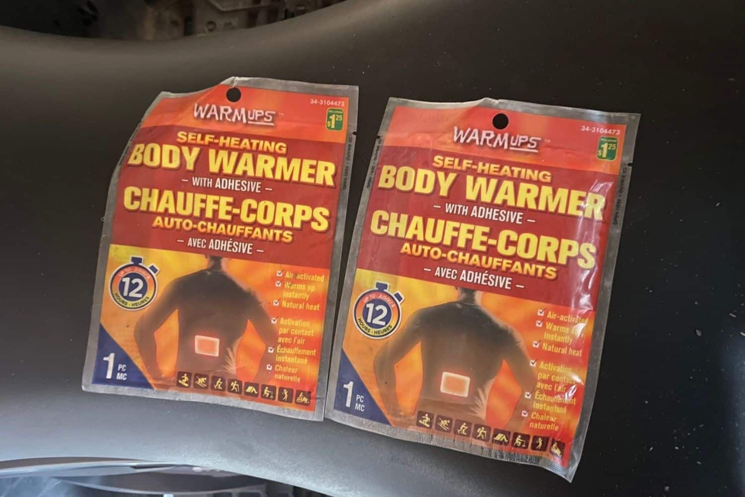
By the time we reached the Grand Macpès lake area, I was starting to feel cold. Despite the fact that the outside temperature is around 20 degrees Celsius, it feels like autumn rain.
I made a rookie mistake of packing extra warm clothes in my ATV just in case. Fortunately, I always bring the “hot pads” in my survival kit. I took the model that fits the lower back. I glued the two “hot pads” to the layer of clothing on the inside, the one closest to my skin, on the front, between the pectoral muscles and the belly, on the left and right sides. It was very effective, eliminating all the moisture inside and generating a nice little layer of warmth.
We headed to Bic to refuel. The name comes from “Le Pic”, a name given by Samuel de Champlain when he passed through here, due to the presence of a fairly high (347 meters high) and pointed mountain bordering the river. The name was later changed to “Le Bic” by lexical corruption. In fact, the summit of this mountain is known as “Pic Champlain”.
After refuelling, we head for Saint-Fabien. In the corner of Saint-Valérien, we went straight on because the signs were missing. We were on the row and the entry to the trail was in the wooded area on our right and not very visible. We realized this fairly quickly and got back on the right track.
We showed up at the restaurant in Saint-Fabien and were relieved to be inside and dry. We had a nice comforting dinner. The rain stopped during dinner and we can’t say we weren’t happy!
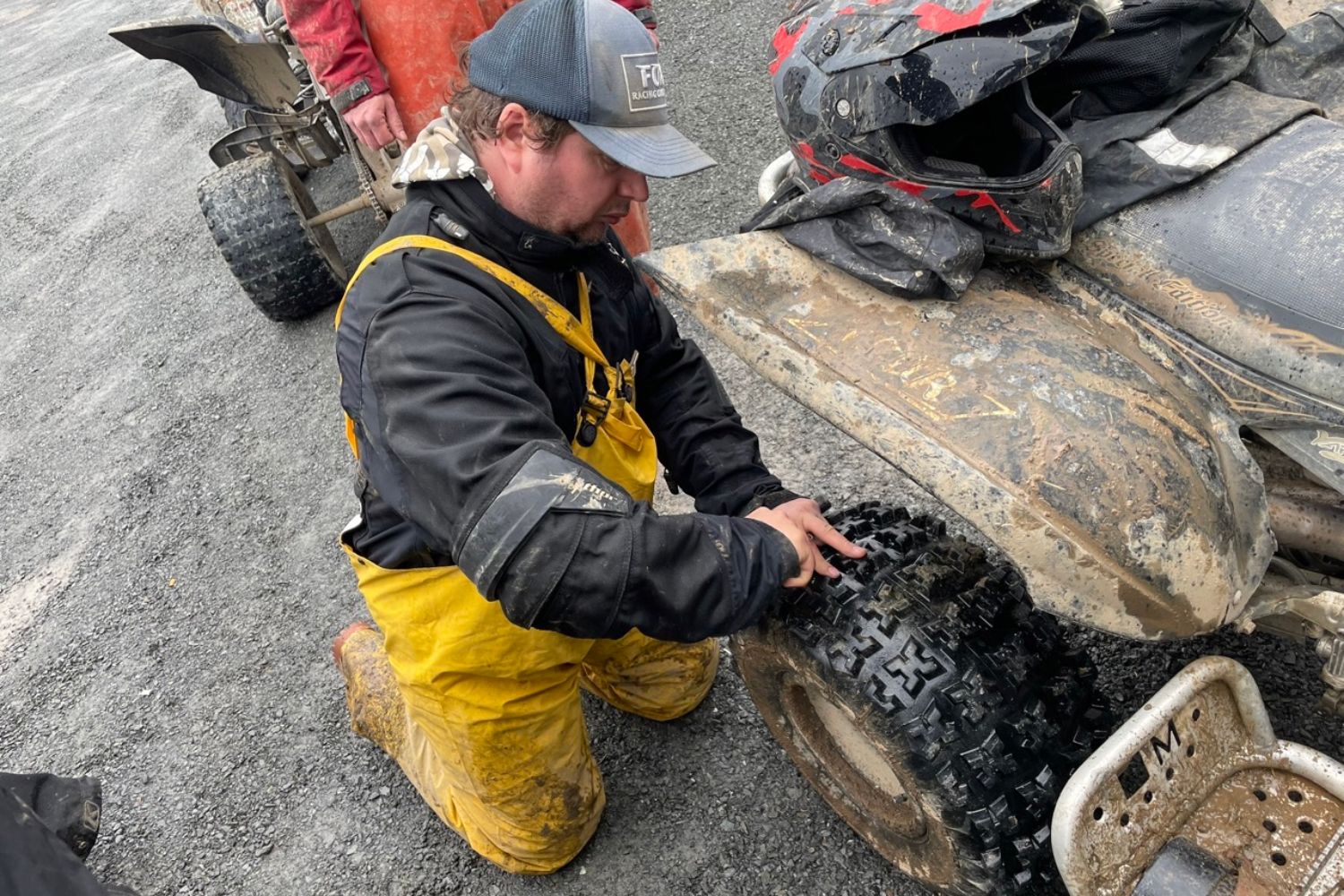
One of our friends, Guy, had a small flat tire, which was quickly repaired on the restaurant grounds.
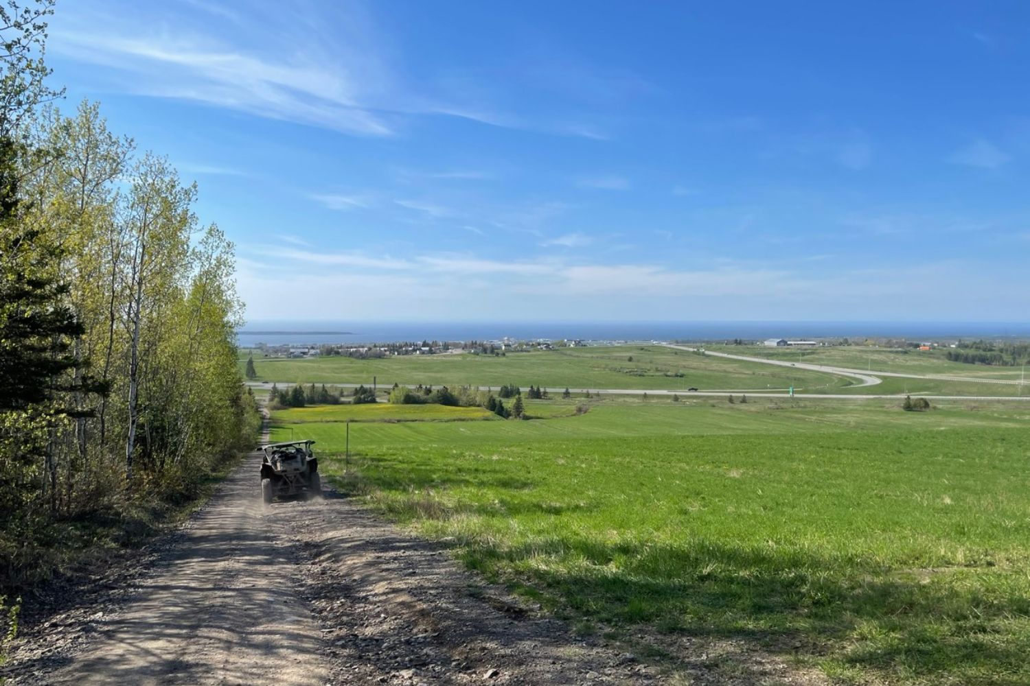
On the way back, in addition to retracing much of the route we took in the morning, we headed for the summit of Montagne Ronde. From here, you can see the Petite rivière Rimouski, the town of Bic, the river and its islands, and even the mountains of Bic National Park, including the famous Pic Champlain.
After that, we headed back to the hotel in Rimouski for a hot shower and to spend the evening with friends.
Day 2: Rimouski to La Trinité-des-Monts
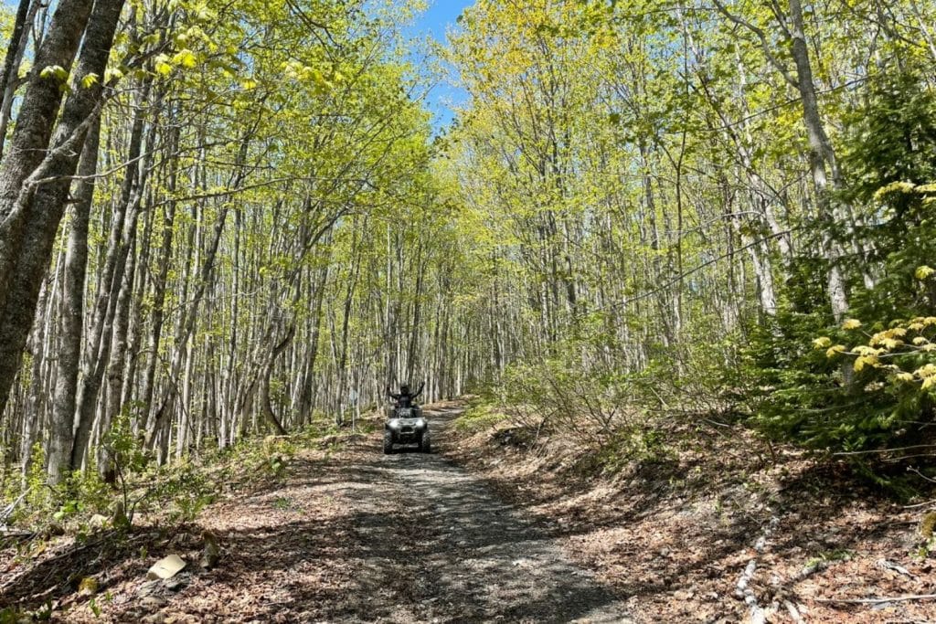
The weather forecast was for a sunny day. We left Rimouski and headed for Saint-Marcellin, then on to Mont Longue-Vue in the Bas-Saint-Laurent zec. It’s a mix of beautiful trails and rows.
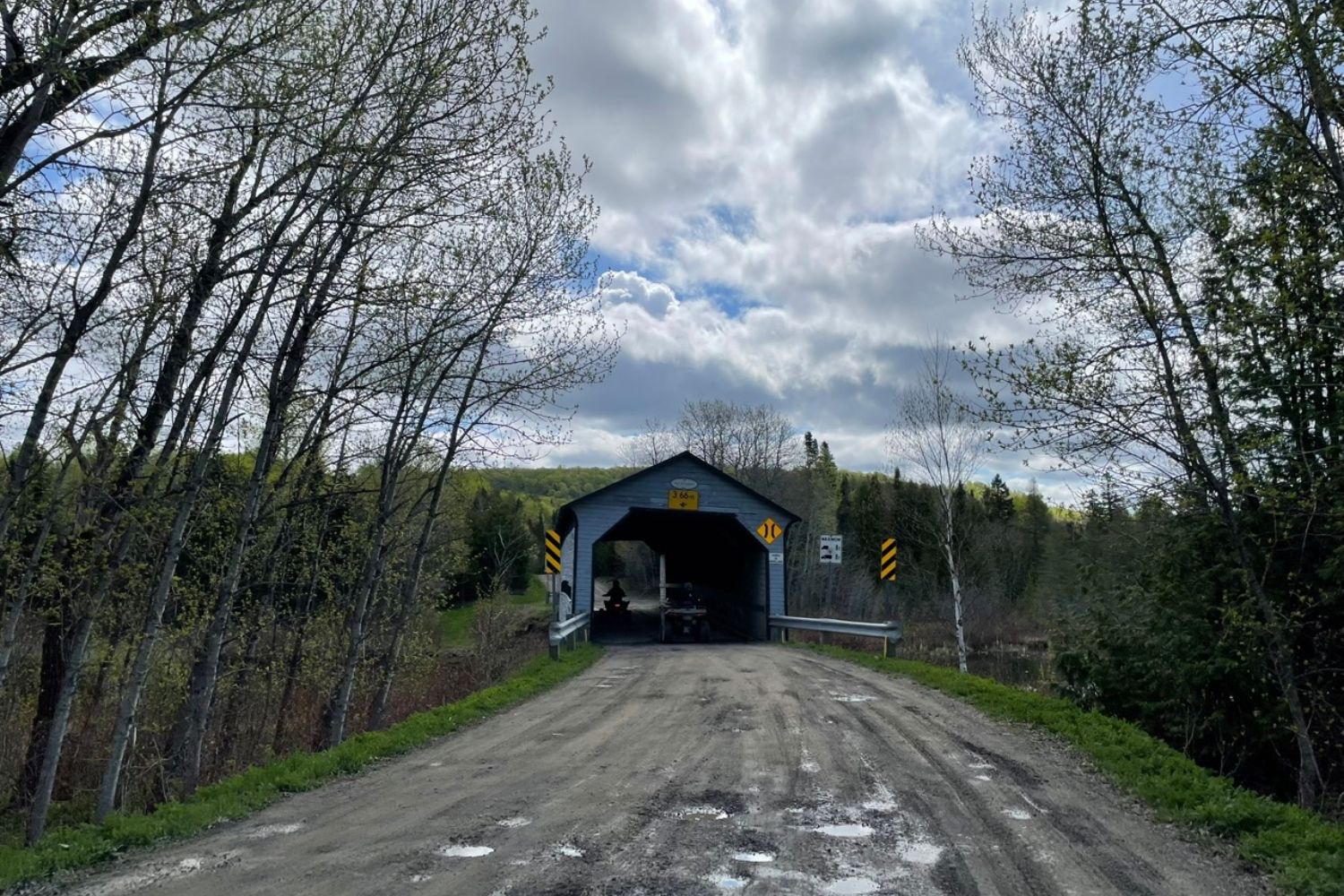
On the way, we cross the covered bridge called Pont des Draveurs, which crosses the Petite rivière Neigette and is 28.93 metres long. It was built in 1930.
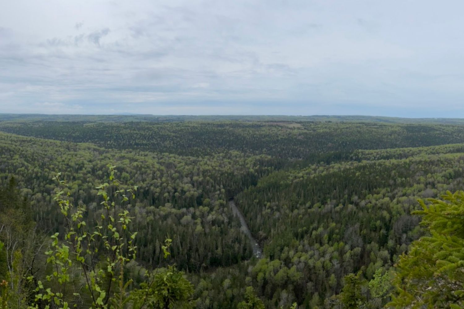
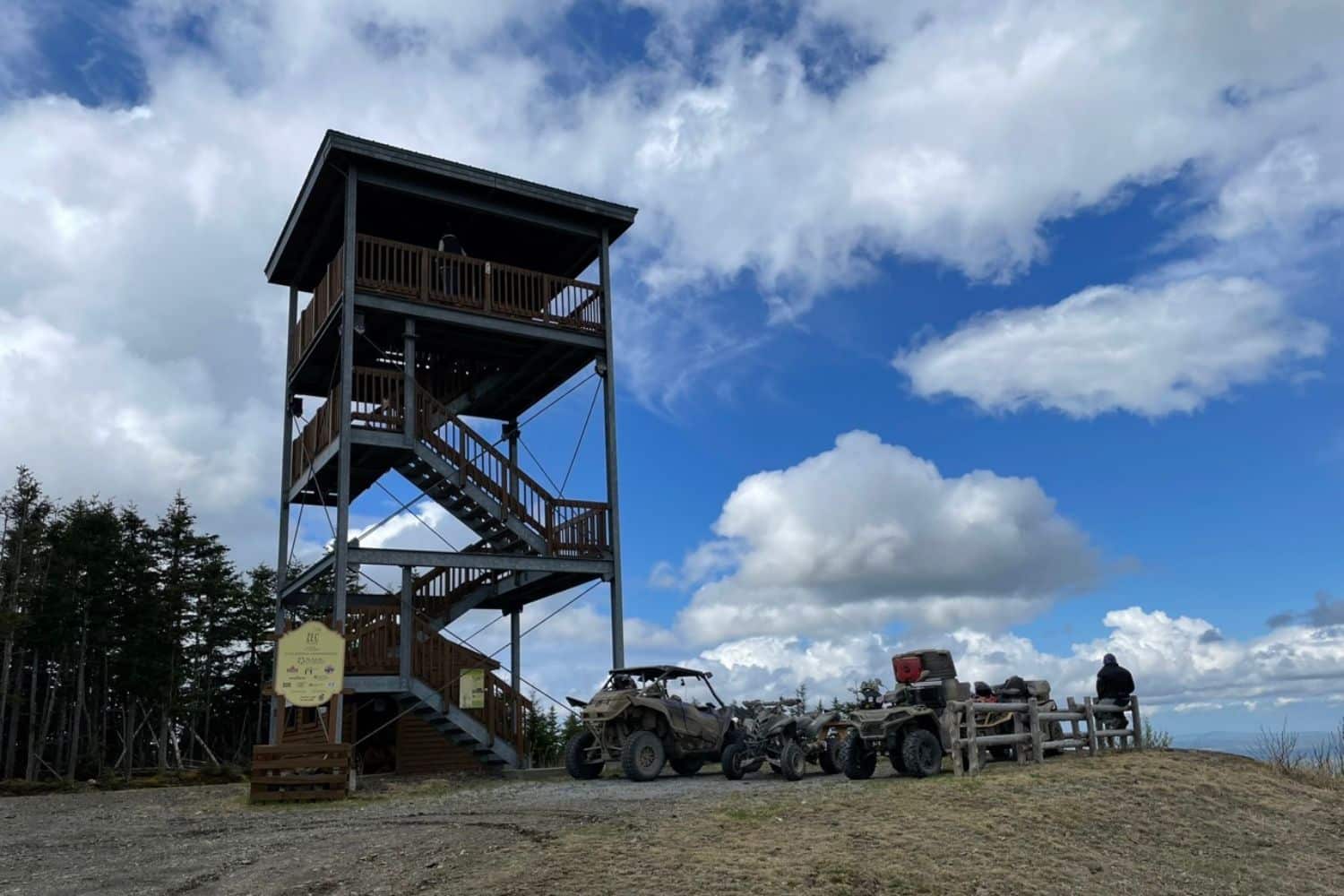
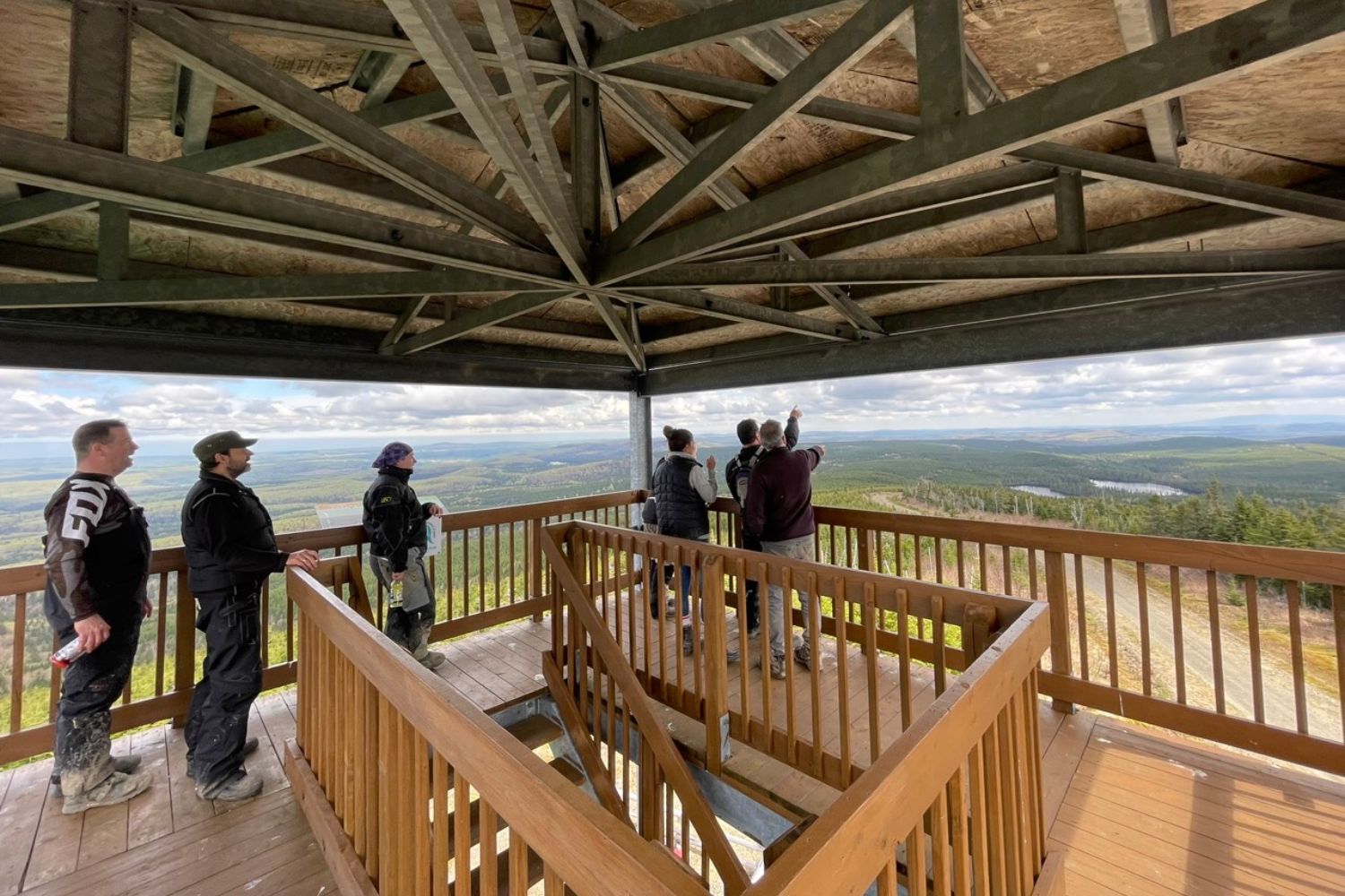
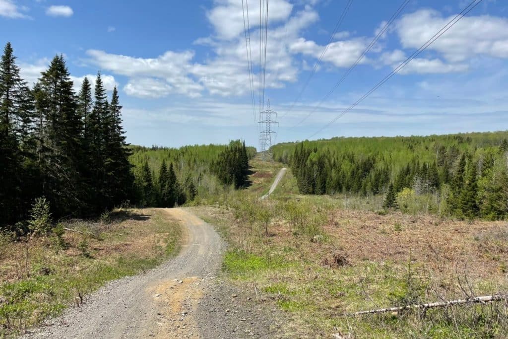
On Mont Longue-Vue, there’s an observation post offering a breathtaking 360-degree view. You can even see the river, some thirty kilometers away as the crow flies. You can also see the wind turbines in the distance. Back in the day, this was the site of a fire tower.
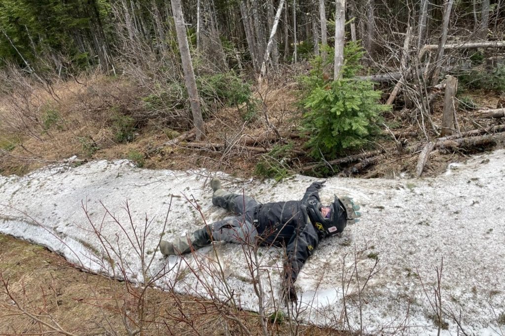
We even saw a little snow in this area.
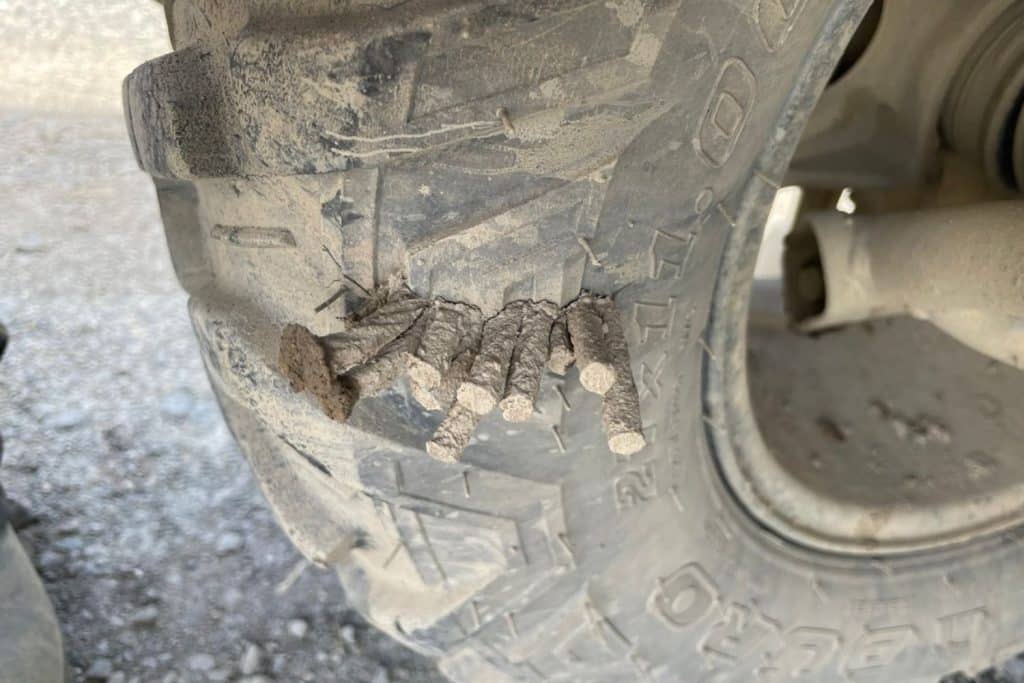
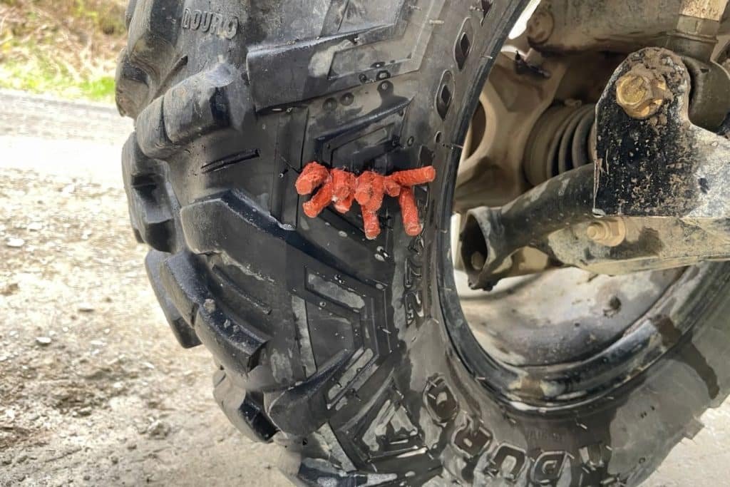
Then, on the way to the municipality of La Trinité-des-Monts, Julie got a good flat tire. A two-and-a-half-inch-long crack on the inside of her quad. I put five plugs next to each other, added air, and it seems to be holding. No air leaks! So we continue our ride.
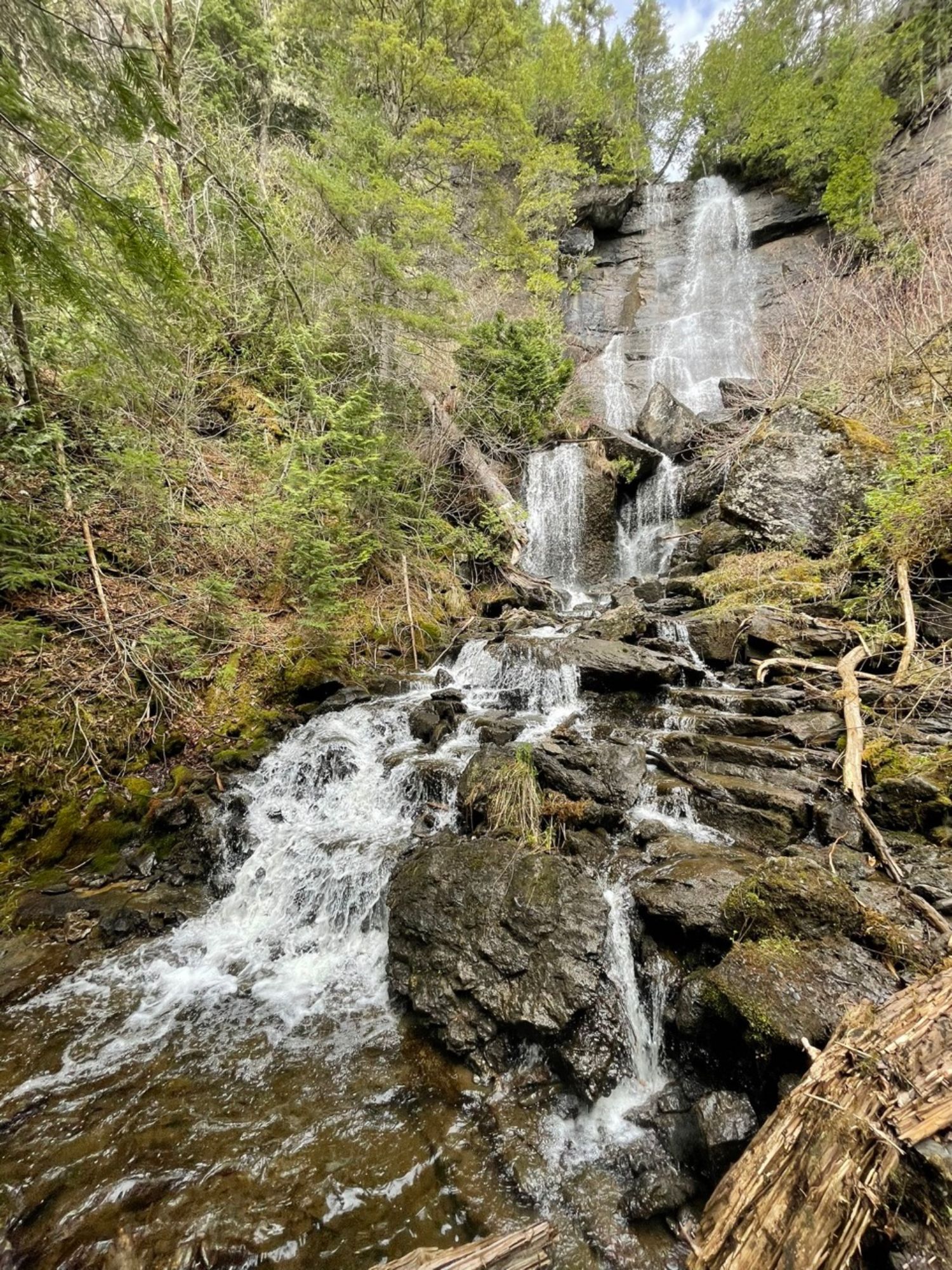
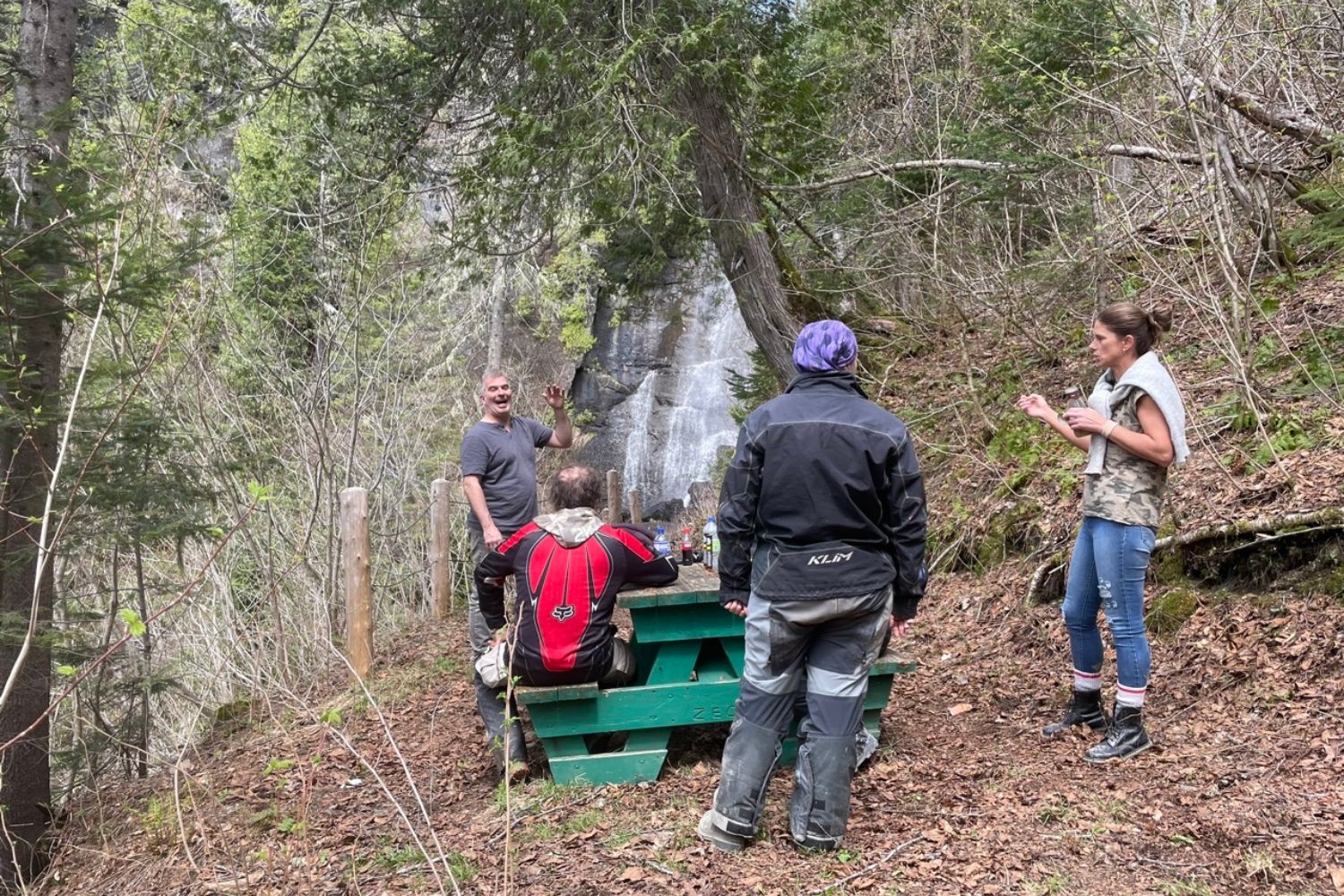
After lunch, we head back to the Zec Bas-Saint-Laurent via the Chemin du Matinal to see the Matinal Falls. We took a break here, where a lookout has been set up. You can get to the foot of the falls, but access on foot is relatively difficult, as the slope is steep. Please note that the trails to the falls are not federated, and you must pay an access fee to the zec.
We wanted to join the trail via the other belvederes, but a passage permission had been lost in the Saint-Narcisse-de-Rimouski sector. We came up against a fence and a sign saying “Private land, no right of way”. Too bad, we decided to head for the villages of Saint-Narcisse and Saint-Blandine, finally arriving at the hotel in Rimouski.
Day 3: Rimouski to Les Hauteurs
This is the third and final day of the ride. All our friends have left, and they have long distances to cover to get back home. They also have family obligations.
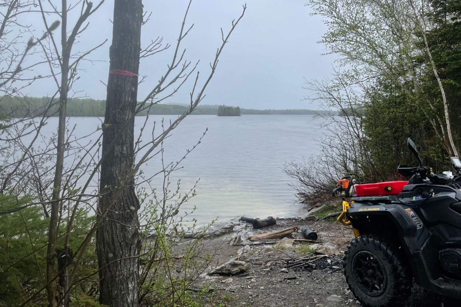
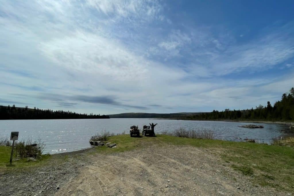
Julie and I decided to stay and hike all morning. So, from Rimouski we headed for Saint-Marcellin, then on to the Bas-Saint-Laurent zec. The difference was that instead of heading west into the zec, we headed east, towards Saint-Charles-Garnier. On the way, we took a break on the shores of Eaux-Mortes lake.
We then follow the trail to the village of Les Hauteurs. It’s so named because early colonizers decided to establish their first farms on the heights rather than at the foot of the mountains. This area is 400 to 450 metres above sea level. Once through this village, we head for Saint-Gabriel-de-Rimouski, where we take a final break.
It’s already 11 a.m., and we have to get back to the hotel in Rimouski to pack everything into the truck and head for home. So, from Saint-Gabriel-de-Rimouski, we’re off to Saint-Marcellin, and then Rimouski. The ATV route we took that day was a nice mix of trails and roads, and it was really pleasant.
Concluding comments
We all loved our three-day stay in this area. The trails are beautiful, winding and quite varied. It’s different from the La Tuque area we were used to. What’s more, it’s possible to use the town of Rimouski as a “base camp” for a three-day hike on a variety of trails.
As we didn’t manage to do all the lookouts in the Bas-Saint-Laurent zec, we have an excellent reason to go back and discover other different corners. It’s a great region to explore!
Oh, by the way, you’re wondering if Julie’s big flat tire repair on her ATV held up? And what’s more, no air leaks since then, so we haven’t had to re-inflate the tire, even after driving over 250 km.